


Discover
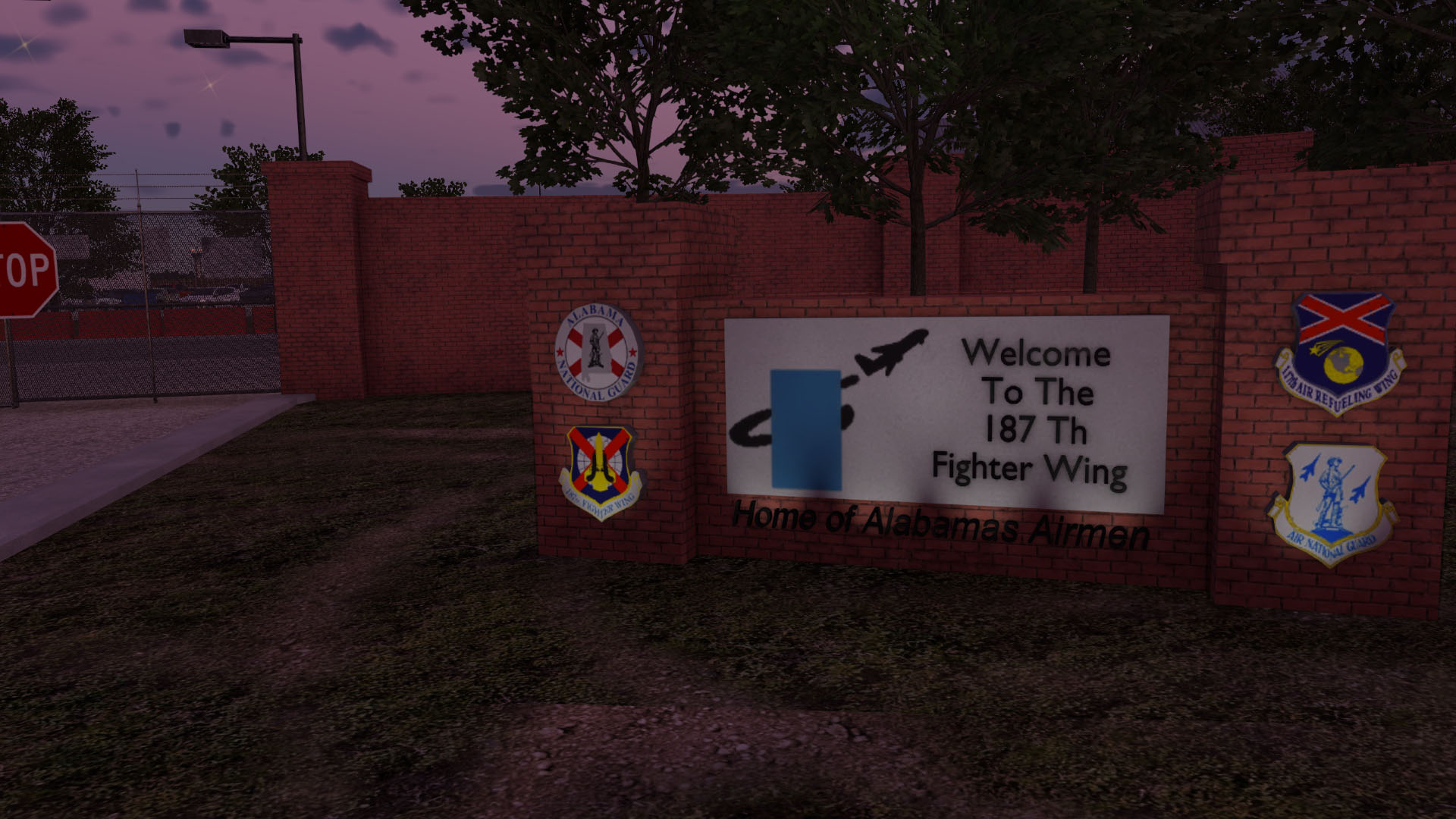
Montgomery Regional Airport (KMGM) is a regional airport serving Montgomery, Alabama, and is home to a significant Alabama Air National Guard facility. With 2 runways serving nearly 300,000 passengers annually and over 200,000 operations per year, KMGM is a bustling regional hub.
This high-quality freeware scenery is the result of a collaboration between X-Codr Designs and Guyfly of AeroDesigns. Our goal was to set the standard for payware-quality freeware, and after over 5 months of development, we believe we have created one of the best freeware airport sceneries available.
Features
- Ultra-Detailed Rendition of KMGM
- Ultra HD pavement textures with normal maps for reflections and pebble level detail
- Realistic large-scale grunge textures to break up repetition
- Realistic ground textures with X-Plane 12 native grass textures
- Extreme building resolutions with Advanced PBR normal maps
- Procedurally generated wear and tear detail
- Detailed Terminal Interior
- Detailed terminal with animated 3D people
- Full SAM support with custom animated jetways
- Custom terminal objects and signage
- Dynamic Living Airport
- Animated 3D people with Living Scenery Technology
- Realistic vehicle traffic on airport roads
- Animated scenery elements like air conditioners
- X-Plane 11 native service trucks for realistic aircraft servicing
- Native X-Plane 12 Support
- Responds to seasonal and weather effects
- Native vegetation system integration
- Full compatibility with X-Plane 12 systems
- Detailed Ground Clutter
- Extensive airport objects and details
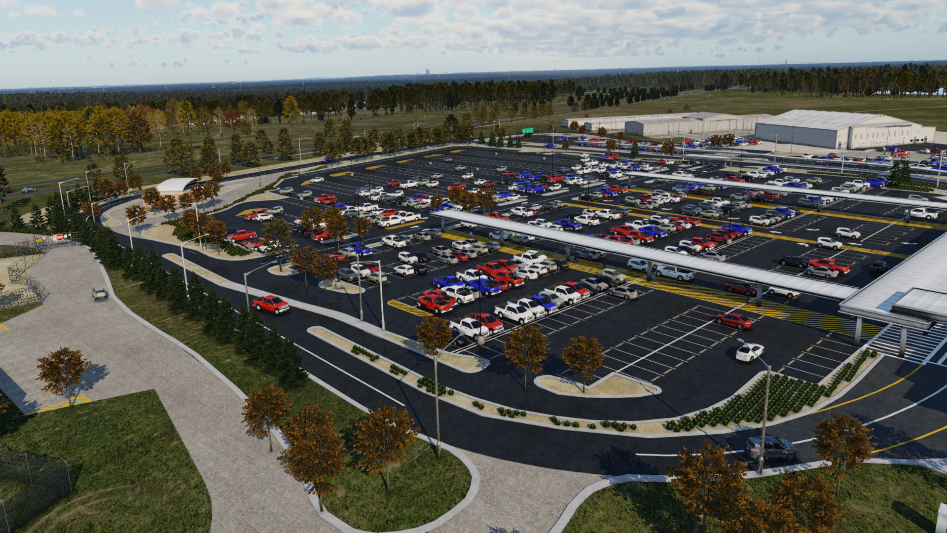
- Realistic parking areas and service vehicles
Support & License
This product is provided as is, as such, no support is guaranteed. However, if you have already read the manual and you still need help or have a question you can feel free to message X-Codr or Guyfly.
License: KMGM is freeware and you are free to do whatever you want in the privacy of your own home. However, you may not redistribute any part of this scenery without written permission.
Orthoimagery Credit: USGS-authored or produced data and information are considered to be in the U.S. public domain. Credit: U.S. Geological Survey Department of the Interior/USGS. Learn more
Other Products
Myself and Guyfly of AeroDesigns are proud to present this quality freeware scenery to you. If you'd like to say thanks, please consider purchasing one of our other exciting sceneries:
AeroDesigns:
X-Codr Designs: You can view my other products on the Products Page